Smart farming solutions provider Precision King adopts AT&T Internet of Things (IoT) services to help make farming more predictable and help monitor weather conditions and track equipment. AT&T also announced that is working with Skycatch to provide insight and near real-time information from drones on the job.
By having access to wind, temperature and humidity data provides farmers with a remote view of crop conditions, they can make real-time decisions to move or shut off irrigation—from virtually anywhere. Three essentials in agriculture are sun, temperature and water. Precision King’s Soil King solution lets farmers monitor the one key factor they have control over – water irrigation.
AT&T’s Global SIM card and IoT Services, such as control center, let the Soil King collect data from the soil and transmit it to the Precision King console. Farmers receive alerts when it’s time to irrigate. Not over-watering saves fuel and equipment costs, and preserves an important natural resource.
“We’re using the latest technology to usher in the next generation of farming,” said Precision King President, Nick King. “Our solutions help farmers save time and money. And we’re proud they can help ensure one of our most precious resources is being used smartly.”
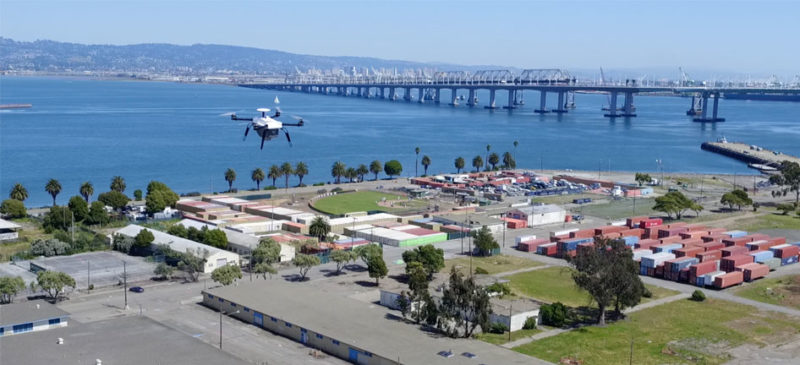
AT&T also announced that is working with Skycatch to provide insight and near real-time information from drones on the job. Tracking progress on large construction sites around the world, Skycatch will connect their precision 3D mapping drones with AT&T LTE-connected tablets on the ground to help ensure high accuracy positioning. Skycatch provides the link between the drones and the tablets and then AT&T’s services are used to connect the tablets and other ground-based devices.
Skycatch drones and software platform help companies incorporate aerial data into their everyday workflow. Industries such as construction, mining, and energy use Skycatch solutions for insight into their projects. Using data collected from above, the drone data company can help build high-resolution maps and 3D models of a job site. With millions of dollars on the line, companies want to know their projects are moving forward safely and efficiently.
The highly secure LTE based solution sends position and correction data quickly, helping ground operators keep an eye on their UAS operations around the world by logging flight hours, battery and maintenance issues from their LTE connected tablets.
The tablets can also help keep drones stay within bounds, receiving updates such as temporary no-fly zones from the Skycatch system.
“We’re working with some of the best in the industry to help ensure that drones can work on our network,” said Matt Walsh, director of business development, Unmanned Aircraft Systems (UAS) – AT&T IoT Solutions. “But the benefit of connectivity is not limited to sky-focused wireless services. IoT can benefit drone solutions such as Skycatch today by improving their accuracy and providing an inside look at their operations from ground based technologies like the Skycatch connected tablets.”
“In today’s fast-paced world, how quickly and reliably you can get information has a tangible impact on your bottom line,” said Christian Sanz, Founder & CEO of Skycatch. “High Accuracy allows professionals including earthmovers, architects, and BIM managers to receive an accurate representation of the land to facilitate accurate and fast changes in design, inspection, and general job site planning. AT&T’s powerful infrastructure enables us to deliver our high-fidelity aerial maps and 3D point clouds to our customers at the high level of speed and quality they need to integrate them into their own workflow.”


